Vox can help with all aspects of MT, magnetic and gravity analysis, as well as integration and interpretation of multiple geological and geophysical datasets
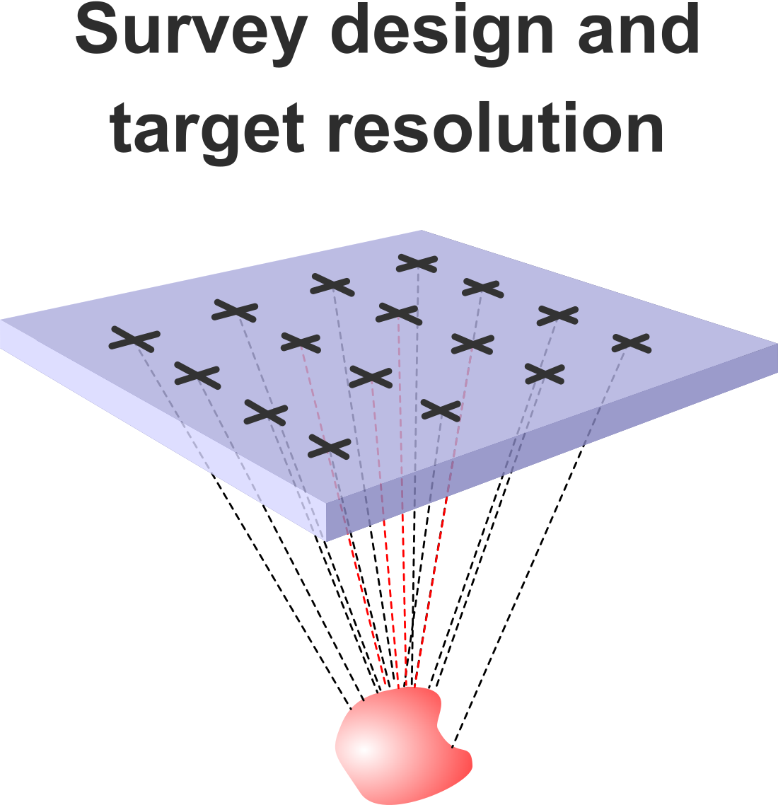
– What are the best geophysical techniques to see your target?
– What survey design will balance cost and target resolution?
– What acquisition specs should your contractor be using?
Before you start collecting data, Vox can give you independent advice to optimise your survey parameters for the best chance for success. By forward modelling your target, we can determine the best station spacings and locations, the required data frequency range, and give you an expectation of how the data will need to be analysed and modelled.
With our extensive field experience, we can liaise with contractors and field crews to ensure optimal data quality.
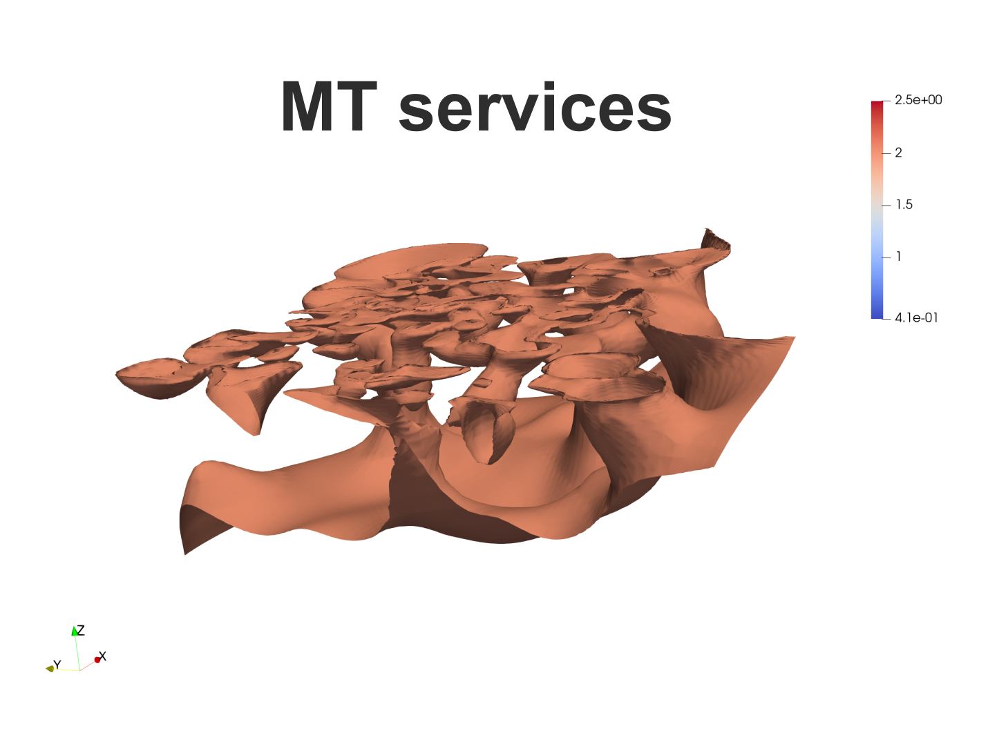
MT Data QA/QC and Analysis
– Identification of instrument and cultural noise from MT time series data
– Processing from time series data to MT sounding curves
– Analysis of MT apparent resistivities and phases to identify any systemic instrumentation errors, bad sites or noisy period ranges
– Calculation of current flow direction laterally and with depth
– Tipper and phase tensor analysis to identify conductivity structures and determine optimal inversion approach
MT 1D, 2D and 3D inversions
– Probabilistic 1D models, producing powerful depth to basement analysis.
– Careful analysis of suitability for 2D inversions and reliable 2D inversion results.
– Fully 3D inversions using the full MT impedance tensor, incorporating topography and bathymetry. Where applicable, nested inversions taking advantage of regional datasets, including AusLAMP and USArray, to image lithospheric- to target-scale features.
– On all models, resolution tests, sharp boundary tests and tests of specific features of interest from other datasets.
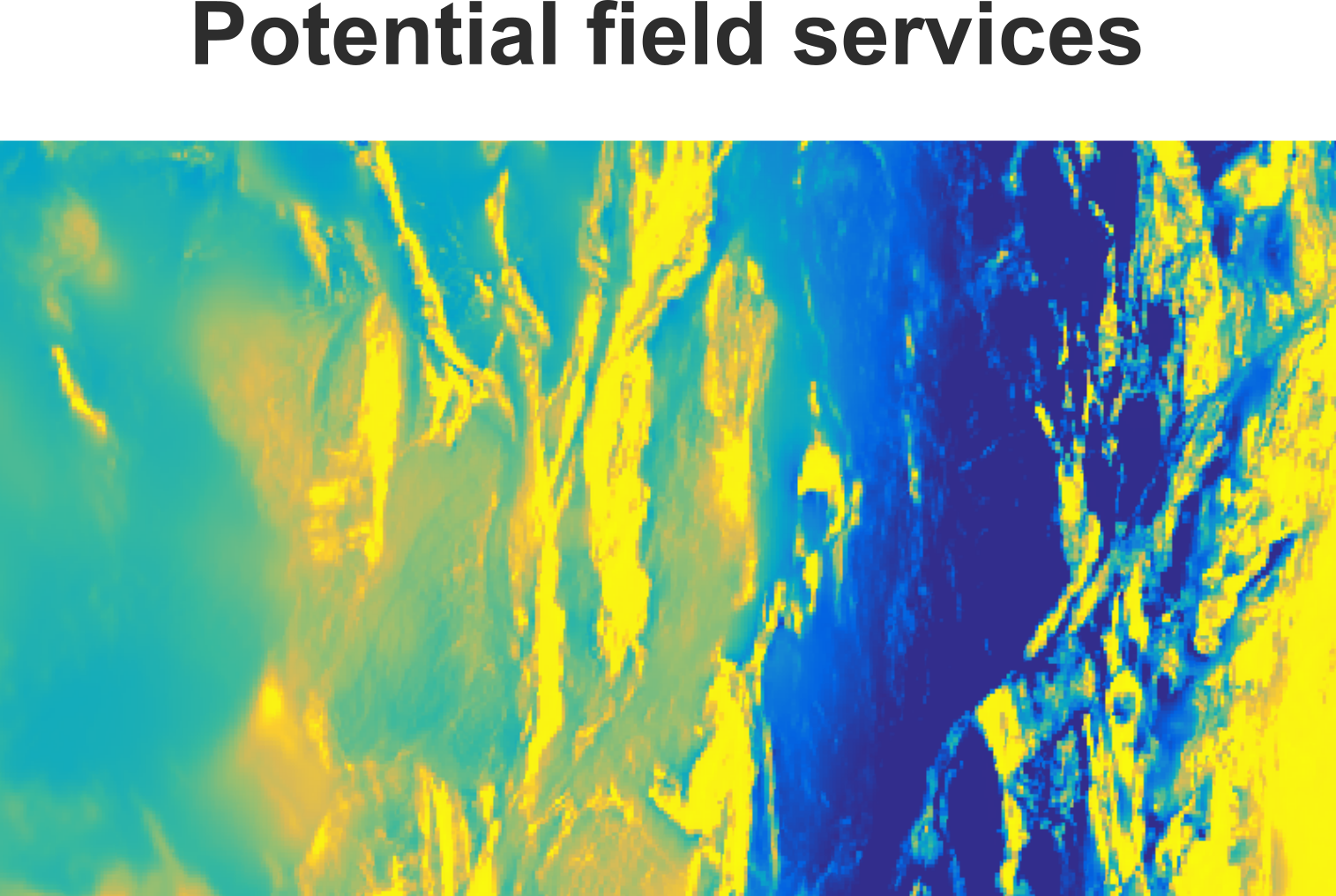
Potential Field Data Processing
– Recommendations on survey design and acquisition platform to suit target depth, resolution and terrain
– Processing, gridding, filtering and imaging of magnetic, gravity and radiometric data to highlight geological and structural features
Potential Field Interpretation and Modelling
– Regional to project-scale lithostructural interpretation and target generation, including integration of other geoscientific data, such as mapping, drilling and satellite data into the interpretation
– Modelling, including 2D forward modelling, and unconstrained or constrained 3D inversion
– Project and mineral system reviews to support future project planning by determining the expected geophysical response of the target, including optional forward modelling, and recommending the geophysical techniques most likely to succeed in target detection.
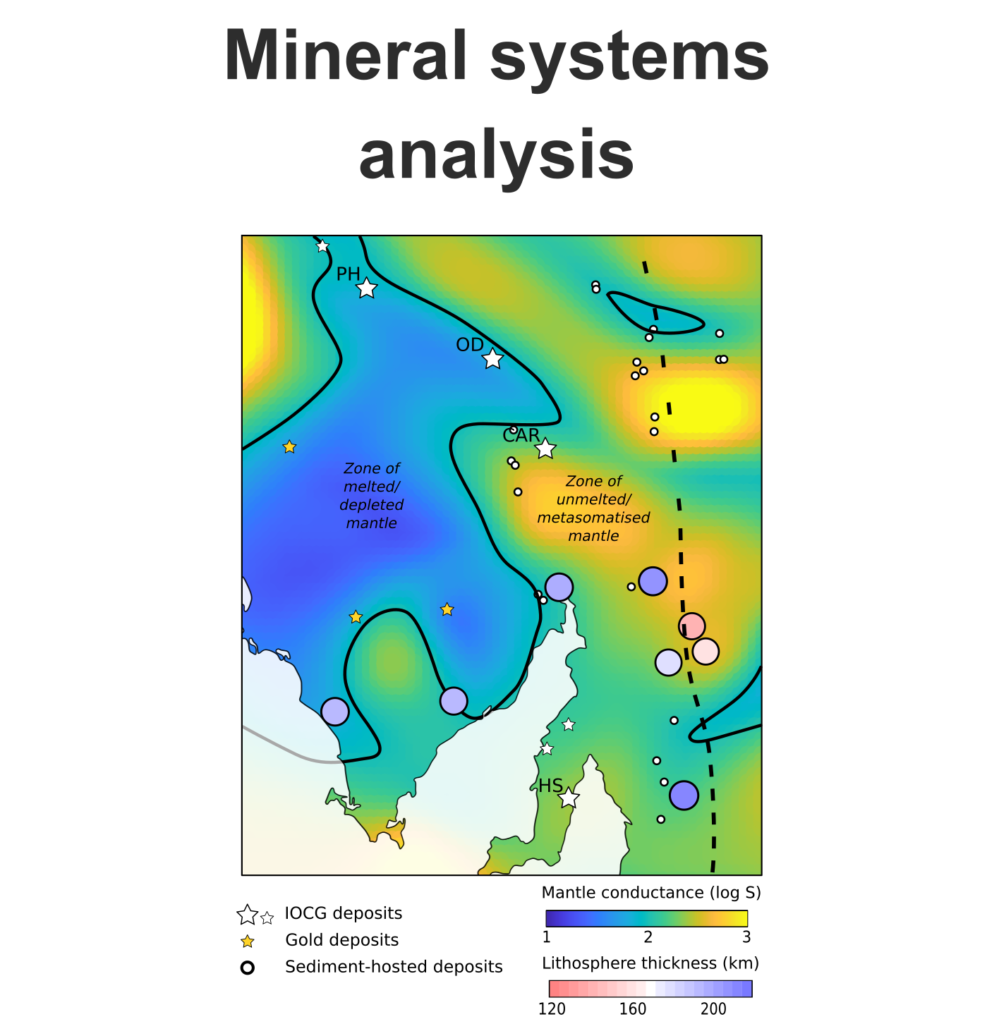
Mineral systems analysis
Vox geophysicists bridge the gap between the deep processes that underpin mineral systems and shallow features that represent drilling targets. By considering geological processes and expected mineral assemblages associated with mineralisation from the base of the lithosphere all the way to the deposit, Vox can build integrated geophysical mineral systems models to help clients:
– Take advantage of pre-competitive datasets including national and regional potential field datasets, AusLAMP and USArray, for terrane-scale greenfields prospectivity mapping of different commodities
– Develop integrated geophysical interpretations of known deposits as case studies of ore-forming processes
– Produce exploration models for different commodities and deposit types that define the geophysical signatures, from the lithospheric to prospect scale, that are critical in exploration